Want access to leading airspace data and services? Get your API key with our free 30-day trial
|
Find the right solution:
Explore a range of solutions tailored to your industry, business, or personal drone use. Whether you're looking for airspace management tools, access to the world’s most accurate drone navigation data, or an app to submit and complete drone flights, there's a solution for you.
|
One Platform, One Unified View, Connecting All

I liked the fact that Altitude Angel have thought about drone flight approvals from all aspects.
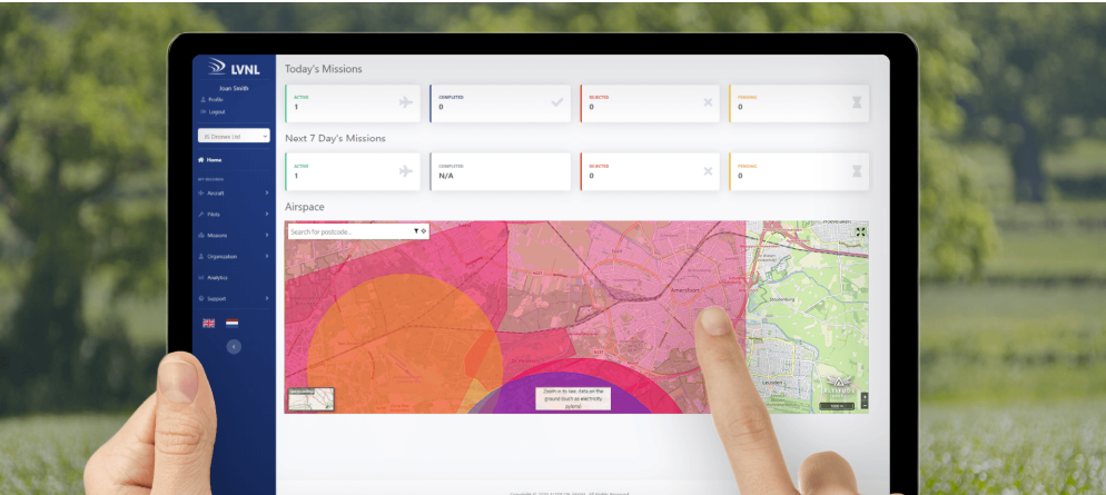
The flight approval process is very straightforward for both drone operators to submit their application and for us to see the information in one place and approve flights.
Lesley Cox
Head of Health and Safety | Blenheim Palace


.png)


.png)


International coverage across 155 countries
800k+ map searches daily
Proven UTM services since 2014
Pioneering Future Flight Challenge & SESAR Projects
Founder of UTM Ready Zones
Connecting the entire 360° drone ecosystem
Leading drone flight planning and approvals solutions

Altitude Angel led a consortium of businesses to build and develop 165 miles (265 km) of 'drone superhighways' connecting the airspace in the UK above Reading, Oxford, Milton Keynes, Cambridge, Coventry and Rugby.
The Skyway superhighway network unlocks the vast potential of unmanned aerial vehicles and serves as a catalyst for growth in the urban air mobility (UAM) and Advanced Air Mobility (AAM) industry.
News